Squinting my eyes to see what the 30 × 30 m pixel meant on a computer screen, I leaned closer, as if going into the map itself could explain Delhi in the year 2000. There it was—patches of blue and green tucked between gray. Wetlands, cropland, open fields. Spaces that looked fragile, but alive.
I clicked forward, layer by layer, watching the years unravel. 2005. 2010. 2015. The blues shrank. The greens thinned. The gray spread like a slow fire across the map.
The Silence of Disappearance
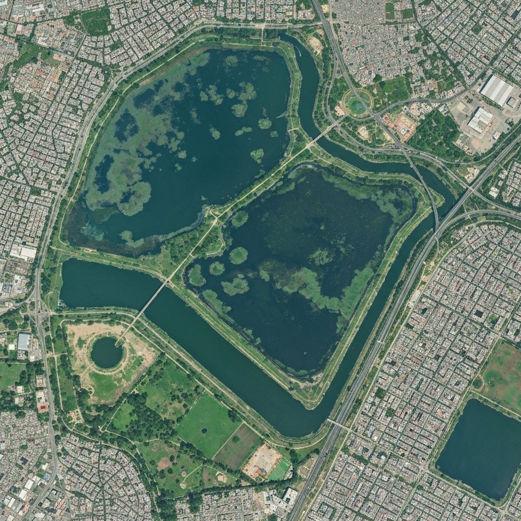
Delhi never had vast wetlands, but what it had was precious—floodplain marshes, ponds, and seasonal lakes that recharged groundwater and sheltered birds. By 2023, studies suggest, the city had lost nearly half its water bodies. Some to construction, some to pollution, many simply erased without notice.
On the screen, it looked like a pixelated vanishing act. On the ground, it was homes built over ponds in Wazirabad, drains replacing marshes at Najafgarh, and Bhalswa Lake carved up by a landfill.
What startled me wasn’t just the loss, but the quietness of it. No headline. No protest. Just silence, year after year, meter after meter.
Maps as Memory
Every map I layered felt less like data and more like memory. I imagined Delhi two decades ago: Najafgarh wetland still alive with cranes, Bhalswa shimmering with migratory birds. Today, Najafgarh is a drain. Bhalswa is half-buried.
What the map showed wasn’t just land-use change. It was amnesia. A city forgetting the ground it stood on.
The Urban Bargain
Built-up area rose more than threefold in the same years that wetlands halved. A cruel bargain: bricks for birds, drains for lakes, asphalt for aquifers.
Wetlands don’t vote, so they don’t make it into manifestos. They don’t protest, so their disappearance feels invisible. And yet, every lost pond means less water to drink, more flooding to endure, more heat trapped in concrete.
Delhi’s resilience is being paved over, pixel by pixel.
Beyond the Screen
At some point, staring at the maps stopped feeling like research and started feeling like mourning. But mourning alone isn’t enough.
Because maps, for all their silence, whisper demands. Protect recharge zones. Restore ponds before they become parks. Zone wetlands not as “vacant land” but as living infrastructure.
The story of Delhi’s wetlands isn’t just a story of loss—it’s a warning. If we ignore what the pixels show us today, we will live their consequences tomorrow.
The Last Pixel
When I zoomed into the 2024 layer, I paused at a faint speck of blue near the Yamuna. Just one pixel. One reminder that not everything was gone.
And maybe that’s where the story turns. Because pixels can fade, but they can also be redrawn. Wetlands can be revived, restored, remembered.
The map doesn’t have to be an obituary. It can be a blueprint.
— Sneha 🌱